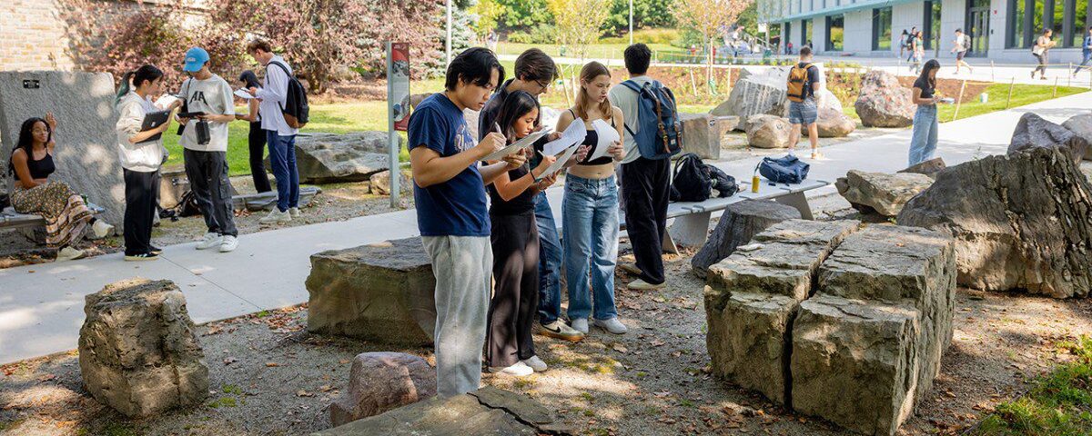
Understanding the Past and Present to Guide the Future
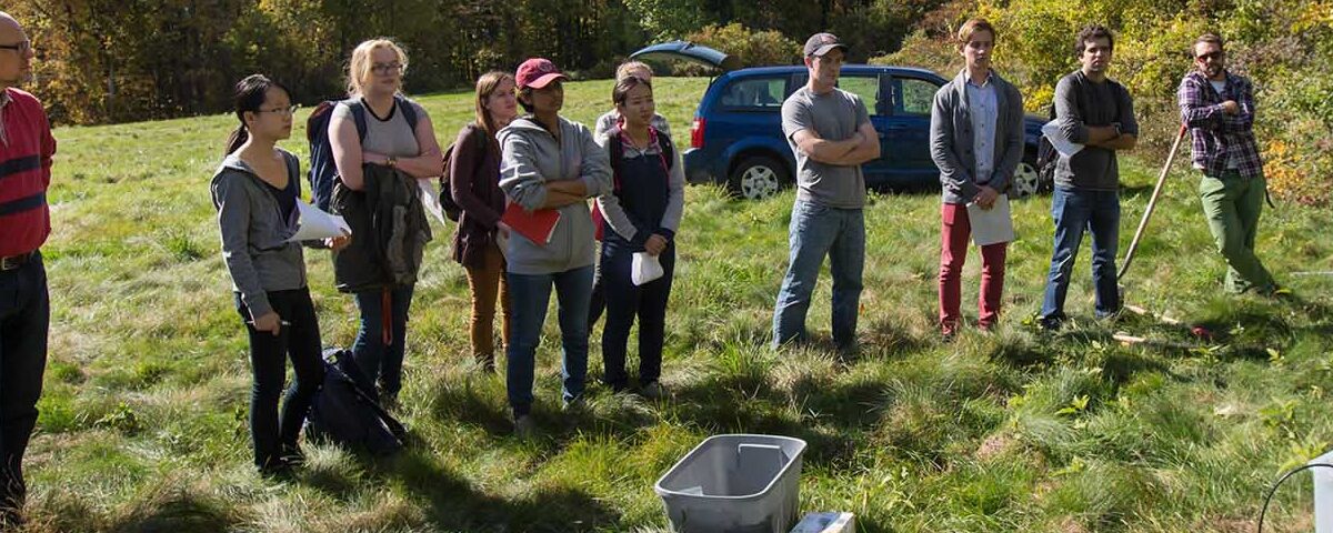
To improve the quality of life for everyone on this planet, we must first understand the complexities of our natural systems and the impact of human behavior on the natural balance. The Department of Earth and Atmospheric Sciences at Cornell embraces this mission through exceptional teaching, world-class research, and committed service and outreach.
Our Programs

News Highlights
-

SPROUT Awards cultivate early-stage engineering research
From designing a reversible male contraceptive to detecting life on distant ocean worlds, the latest Cornell Engineering SPROUT Awards are cultivating breakthroughs across medicine, space exploration, robotics and environmental sensing.
-

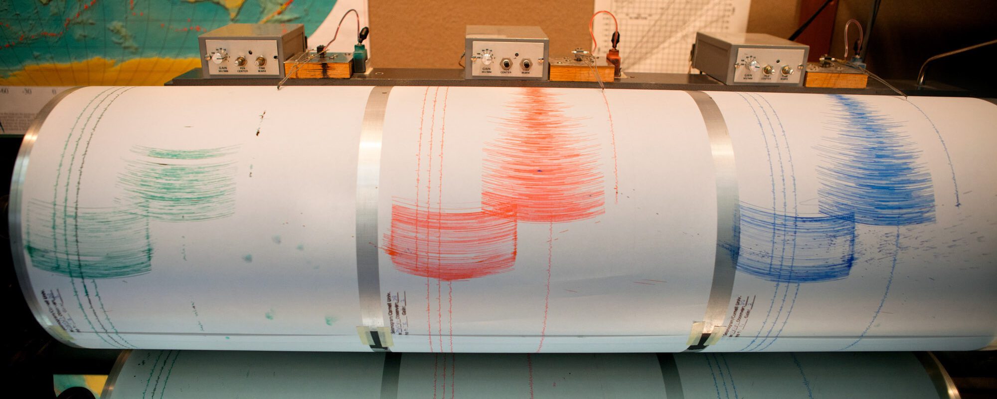
Geologists reflect on Cornell’s 50 years of seismic reflection
The Institute for the Study of the Continents hosted a symposium to take stock of Cornell’s decades-long history of seismic imaging science, while celebrating Larry Brown, professor emeritus, whose work helped shape the field.
-

Microbes that extract rare earth elements also can capture carbon
Cornell geochemists and synthetic biologists have collaborated to improve the efficiency of microbes that can dissolve rocks to extract critical minerals while speeding carbon sequestration from air.
-

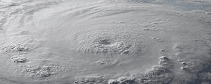
Climate change-fueled heat records, stronger storms all but certain over next 5 years, scientists warn
Alumni Profiles
-
Finding creative solutions and protecting the environment – Jonathan Kimchi ’10
Eighteen years ago, Jonathan Kimchi ’10 was a first-year Cornell student who knew he wanted to make an impact on the environment by combining his passions for water resources and engineering. These days, he is realizing that goal as the…
-
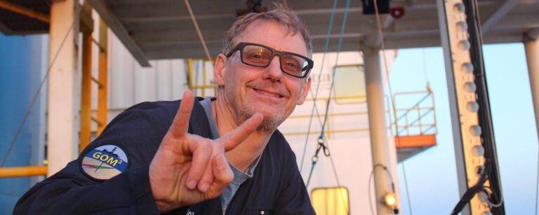
A visceral sense of the land – Peter Flemings Ph.D. ’90
In the more than 30 years since Peter Flemings Ph.D. ’90 left Cornell with his Geology doctorate in hand, he has been engaged in research at some of the nation’s premier academic institutions, including the Lamont-Doherty Earth Observatory, MIT, Penn…
-
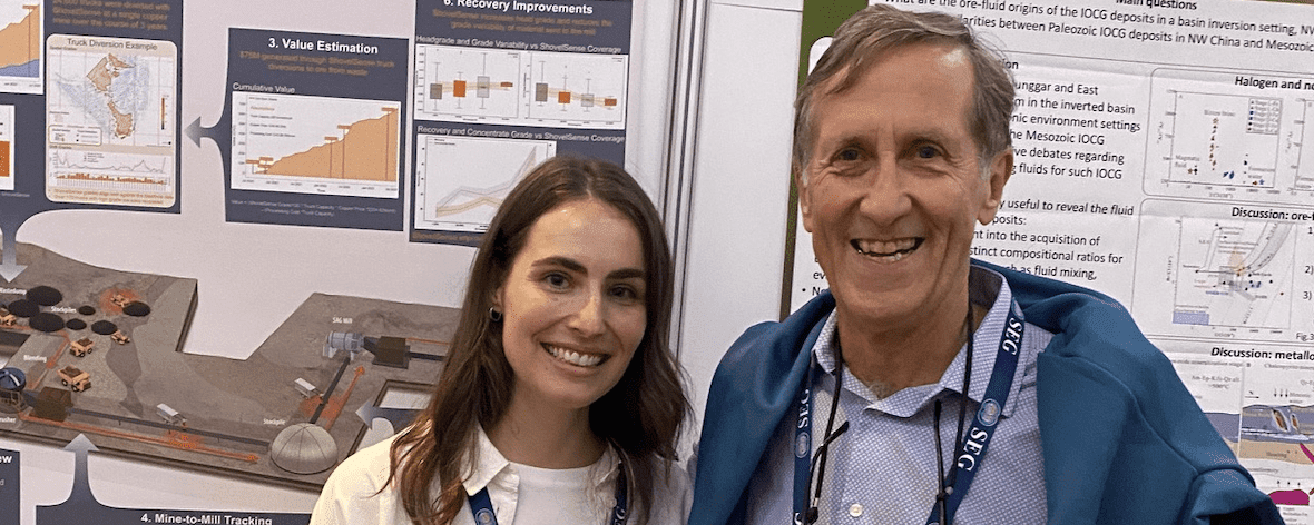
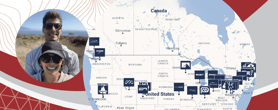
Alum is using data to improve mining practices – Hannah Lang ’18
Hannah Lang ’18 has never been a rock collector and would definitely not refer to herself as a “rock nerd,” (though some of her good friends are). Yet, she graduated from Cornell with a B.A. in the science of Earth…
Strategic Research Areas
-
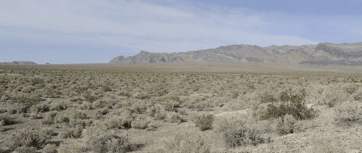
Climate and Paleoclimate
Study of Earth’s climate extends from investigation of past climate states, to investigation of the key underlying physical and chemical controls on modern climate balances, to prediction of the climate outcomes of ongoing anthropogenic and natural forcings.
-
![Earth as seen from space, with India centered.]()
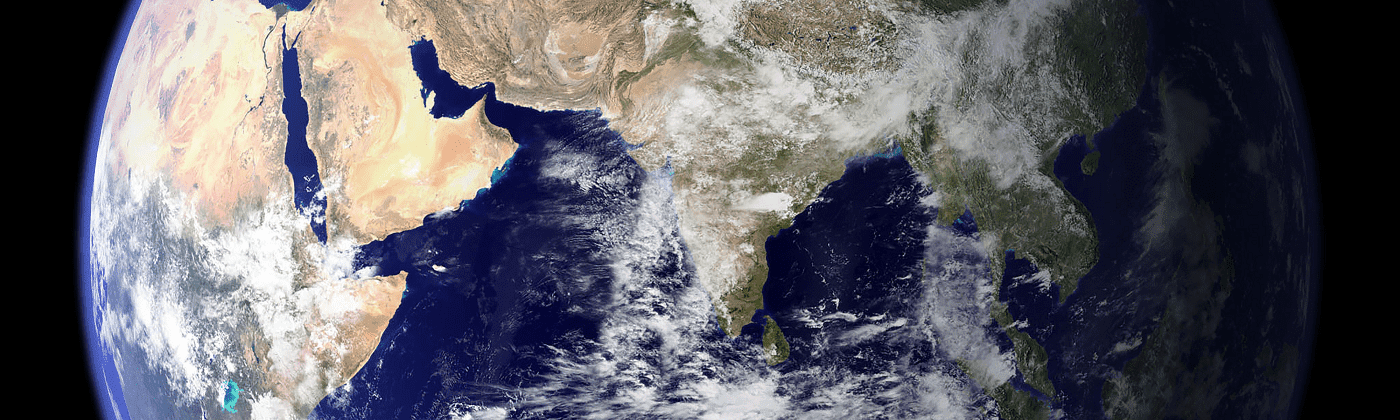
Earth System Science
Earth system science spans knowledge across the lithosphere, biosphere, atmosphere, cryosphere and hydrosphere. Earth system science is intellectually interesting, as it seeks to understand the world around us, as well as relevant for solving problems relating to energy, climate and pollution.
-
![Steaming thermal pool in New Zealand]()
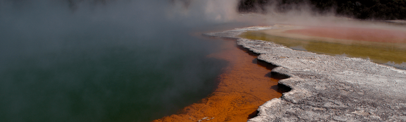
Energy, Mineral, and Water Resources
We make society aware of energy’s indirect role in our lives: for example, modern food production requires massive amounts of energy for fertilizer, harvest, and transportation to market.
-
![steaming top of a conical volcano]()
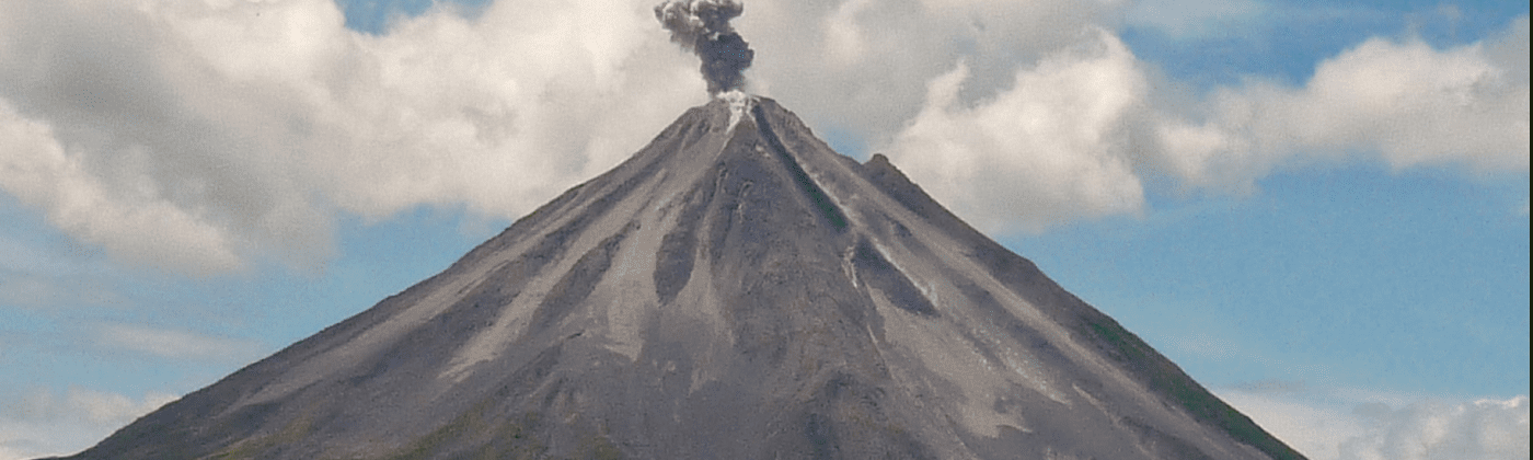
Geochemistry, Petrology, and Volcanology
This area of research focuses on the study of the chemical composition of the earth and its rocks and minerals.
-
![person sitting in a hole, wiring a seismic sensor.]()
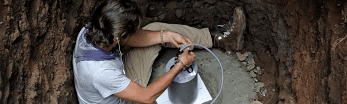
Geophysics and Seismology
This area of research concerns itself with the physical processes and physical properties of the Earth and its surrounding space environment, and the use of quantitative methods for their analysis.
-
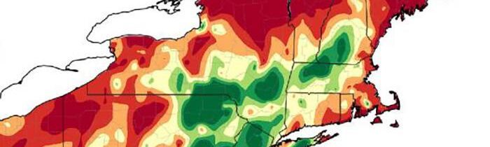
![climate map of part of the Northeastern United States]()
Meteorology and Applied Climatology
Established in 1983, the Northeast Regional Climate Center (NRCC) is located in the Department of Earth and Atmospheric Sciences at Cornell University.
-
![Overhead view of waves crashing on a sandy shore]()
Ocean Sciences
Research includes Marine Ecosystem Research in the North Atlantic (MERRCINA), Ocean Tracking Network (OTN) L, Near-Real-Time Modeling of Right Whale Foraging Areas in the Gulf of Maine and Interannual Variability of North Atlantic Spring Phytoplankton Blooms in the North Atlantic.
-
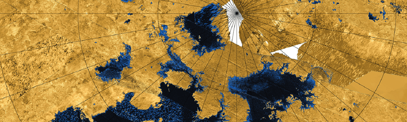
![satellite image of the North polar lakes and seas of Titan.]()
Space and Planetary Sciences
Research in space and planetary sciences spans many disciplines and four departments at Cornell, including the Department of Earth and Atmospheric Sciences.